Orange River. January 2019
1. Across The Karoo to Oranjemund.
The Karoo
This is a vast area of semi-arid land covering about 40% of South Africa, with long stretches of straight road, some mountain passes, a few small towns dotted here and there and occasional farms between the towns. It was very dry after several years of little or no rain - the inhabitants are dependent on underground water so wind-pumps are a common sight. There's interesting information about The Karoo this website: Karoo Space
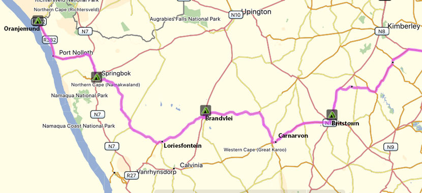
Richmond to Carnarvon via Britstown
Our first night was at the RIver of Joy campsite which is north of Bloemfontein, which we often use if we are heading travelling to or from the Western Cape. On our second day we headed south and west towards Britstown and stopped at Kambro Rest where we glad of some shade a a dip in their pool. There's also a very nice farm stall there. The next day we drove to Carnarvon which is 150 km from Britstown, a tar road but as it only passes 1 other town was nice and quiet.
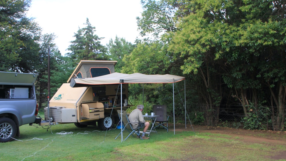
River of Joy campsite.
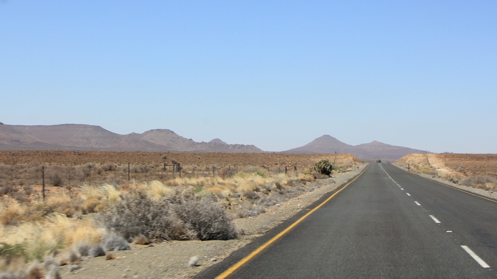
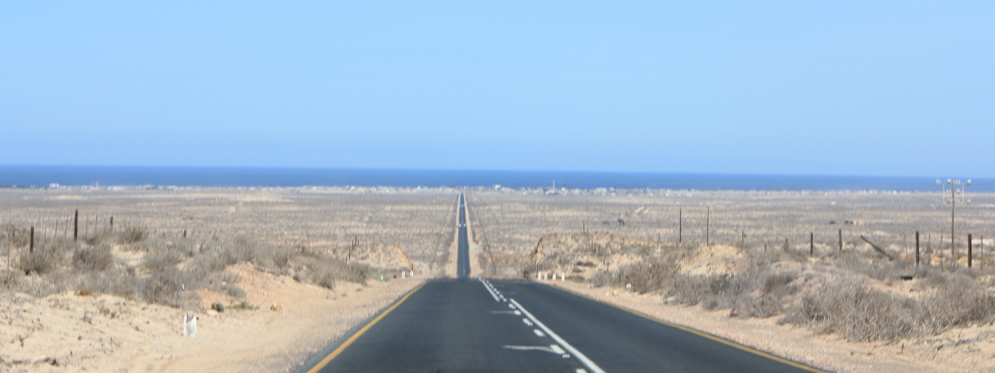
The tar road between Britstown and Carnarvon.
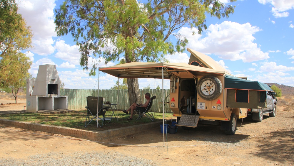
Kambro Rest Camp.
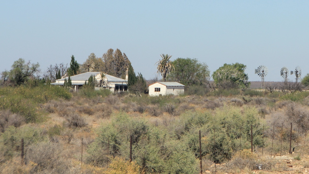
This farmhouse looked to be deserted.
Carnarvon to Brandvlei
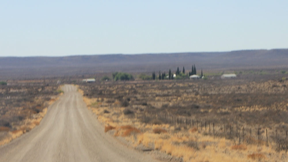
From Carnarvon we took to the gravel roads and in the 220km to Brandvlei only saw 2 vehicles!
A group of trees is usually a sign of a farmhouse.
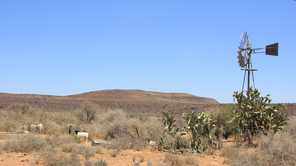
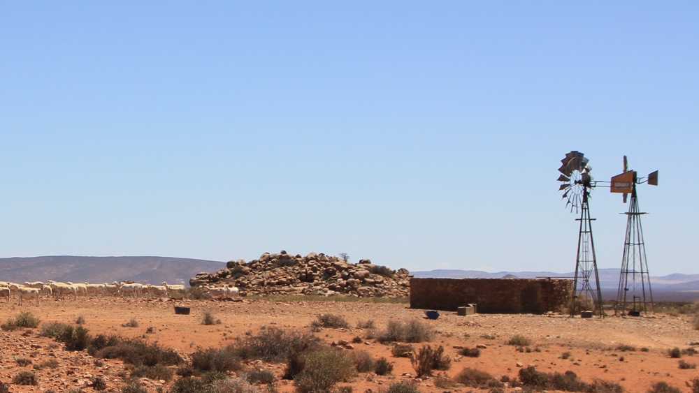
From time to time we passed working wind-pumps which often had a group of sheep nearby
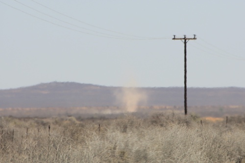
Dust devils are are common sight in this dry land.
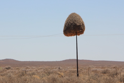
Sociable weavers often build their communal nest on old poles.
These green bushes were in a dry river bed.
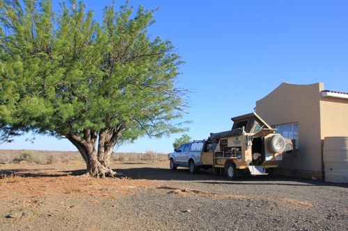
The campsite at Oom Bennas, just north of Brandvlei.
Brandvlei to Loeriesfontein.
We had a comfortable night at Oom Bennas - there was no-one staying in the cottage so we were able to sit in the shade on the veranda. The next da we were, once again, travelling on quiet gravel roads through The Karoo.
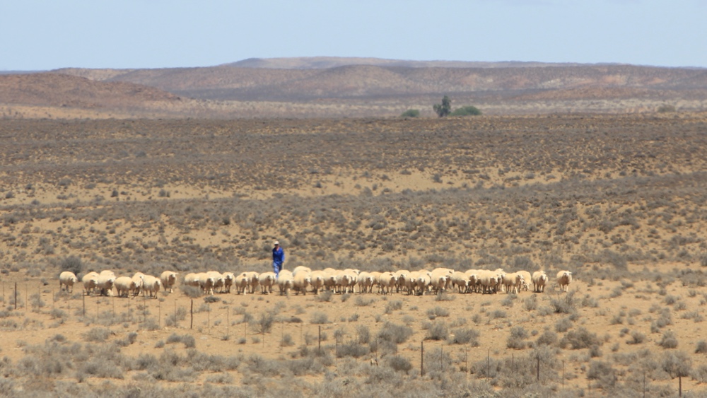
We saw this guy herding sheep towards the road.
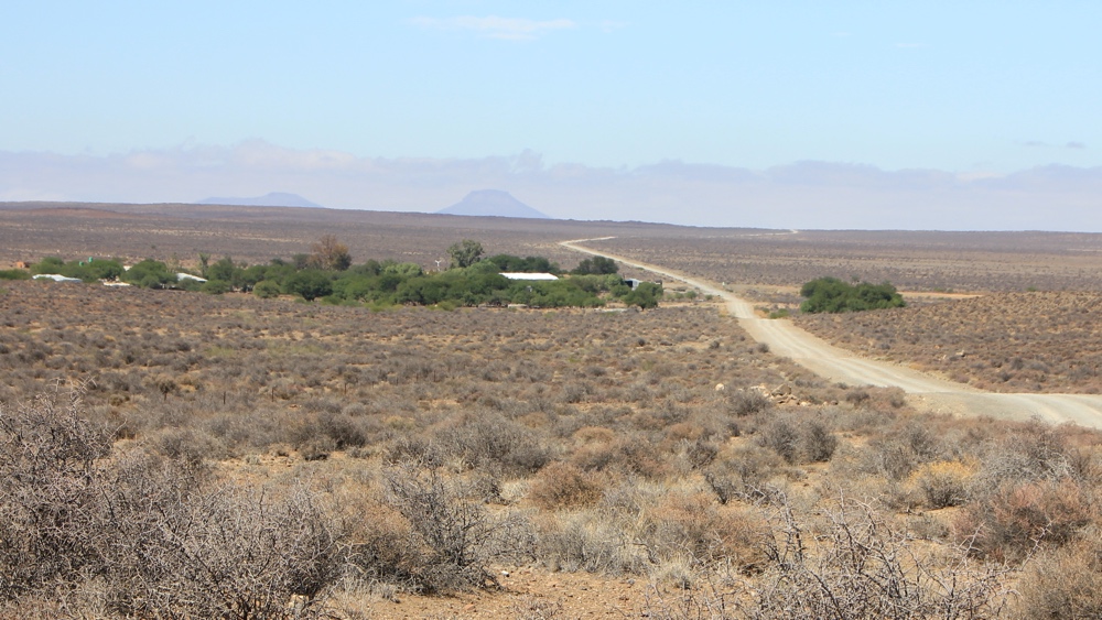
Up ahead we could see a farm.
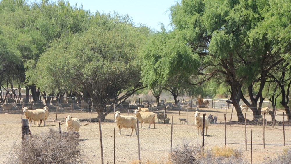
There were fields with sheep and lambs by the farmhouse.
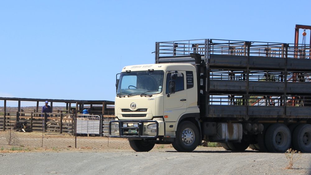
Sheep were being loaded onto this lorry - there's a sheepdog next to the fence.
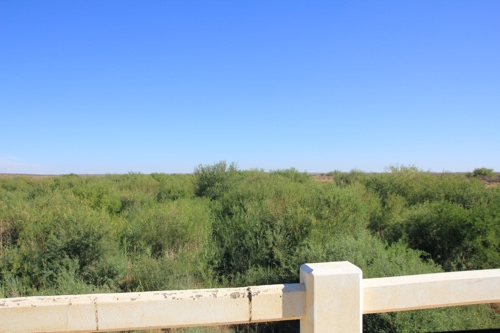
Crossing a dry river.
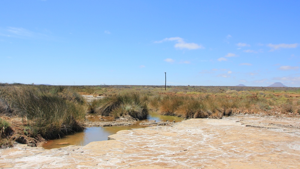
We could see a few pools of water in the river.
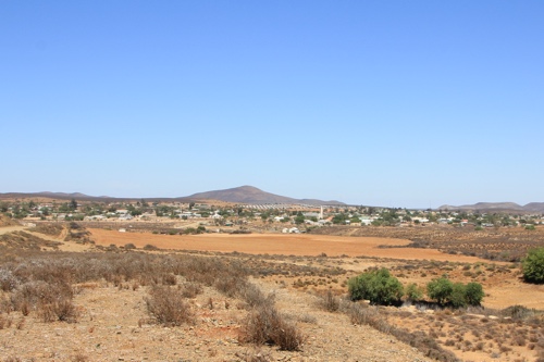
Loeriesfontein to Springbok
I noticed on our map that there was a Windmill Museum in Loeriesfontein so we stopped to have a look. There was a list of people and phone numbers to contact to go into the museum building but we just looked at the outside exhibits - lots of wind-pumps on show as well as some farm implements. Later we had a toasted sandwich at a small cafe in the town.
Approaching Loeriesfontein.
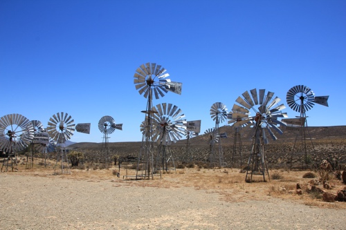
Windpumps.
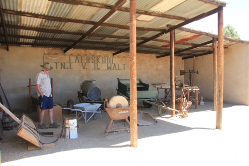
Old farm implements.
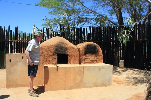
A bread/pizza oven!
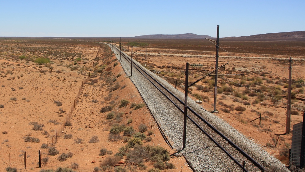
As we headed north we were surprised to cross this railway.
A new solar pump next to an old wind pump.
Springbok to Oranjemund
After a night in Springbok we headed West to Port Nolloth and then followed the coast road north to the border with Namibia.
Our first sight of the Atlantic Ocean as we headed towards Port Nolloth on a lovely clear day. when we were here a few years ago there was a sea mist over the town most of the time so we hardly saw anything.
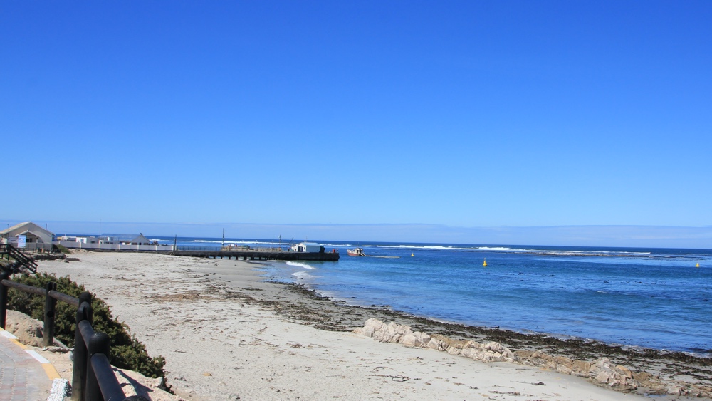
The beach at Port Nolloth.
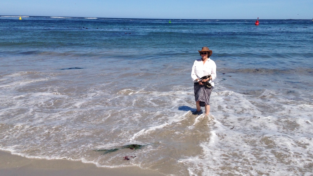
A quick paddle in the cold Atlantic Ocean.
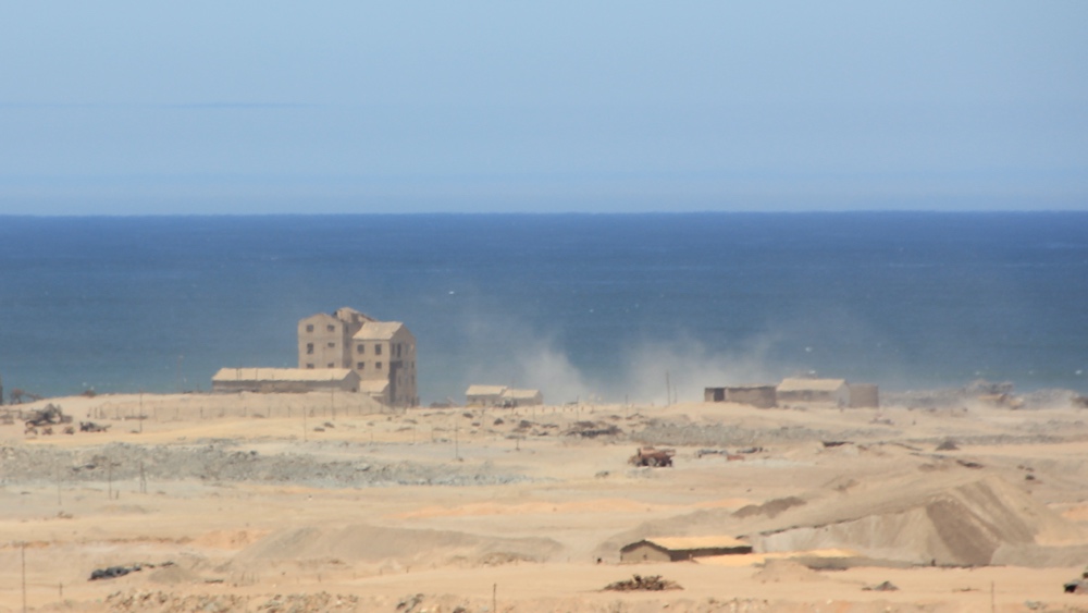
OAs we headed north from Port Nolloth we passed mines along the coastline - most seem to have been abandoned.
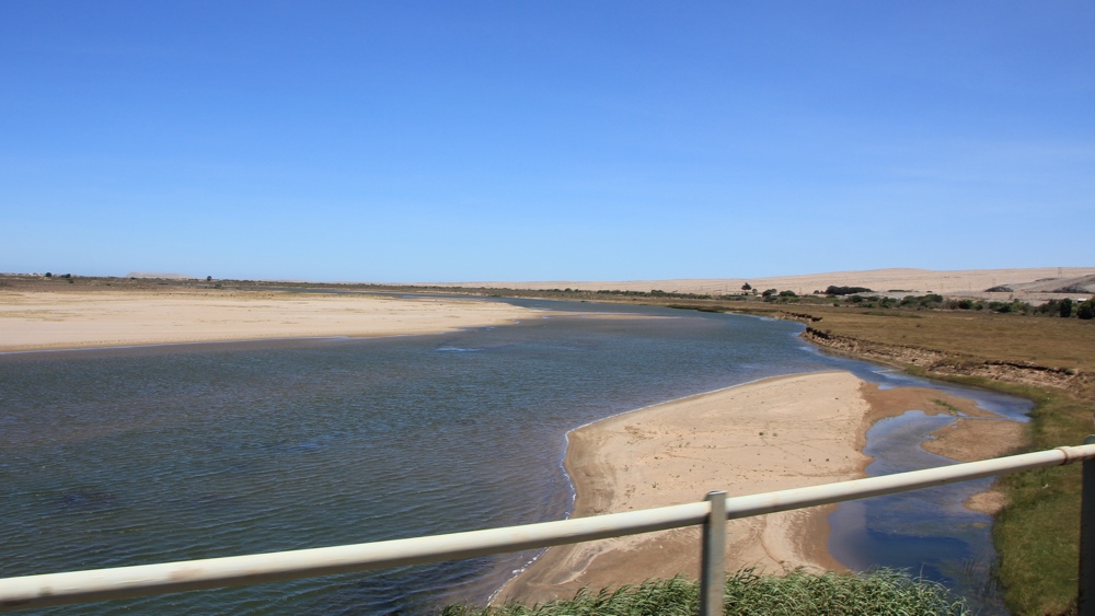
Crossing the Orange River from South Africa to Namibia.
Last updated: December 2020