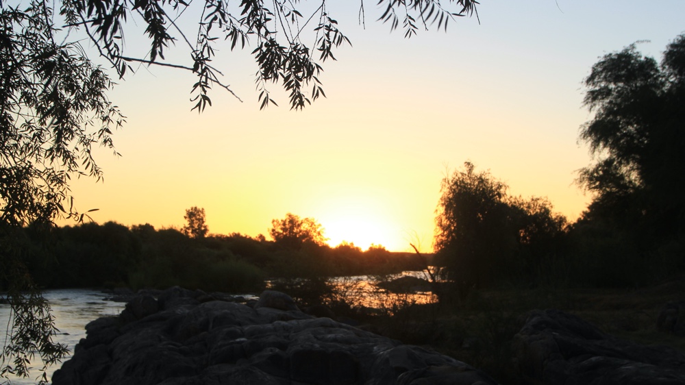
Orange RIver.January 2019
3. Following the Orange River upstream B.
Klein Pella
I'd read that the largest date farm in South Africa was located at Klein Pella and that they had a River Camp.
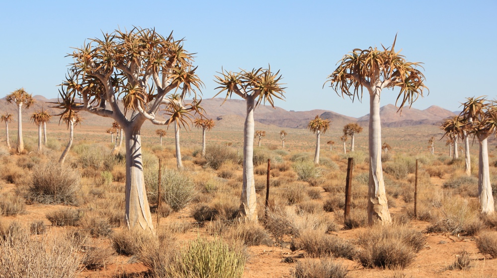
We passed this quiver tree 'forest' on our way to Klein Pella.
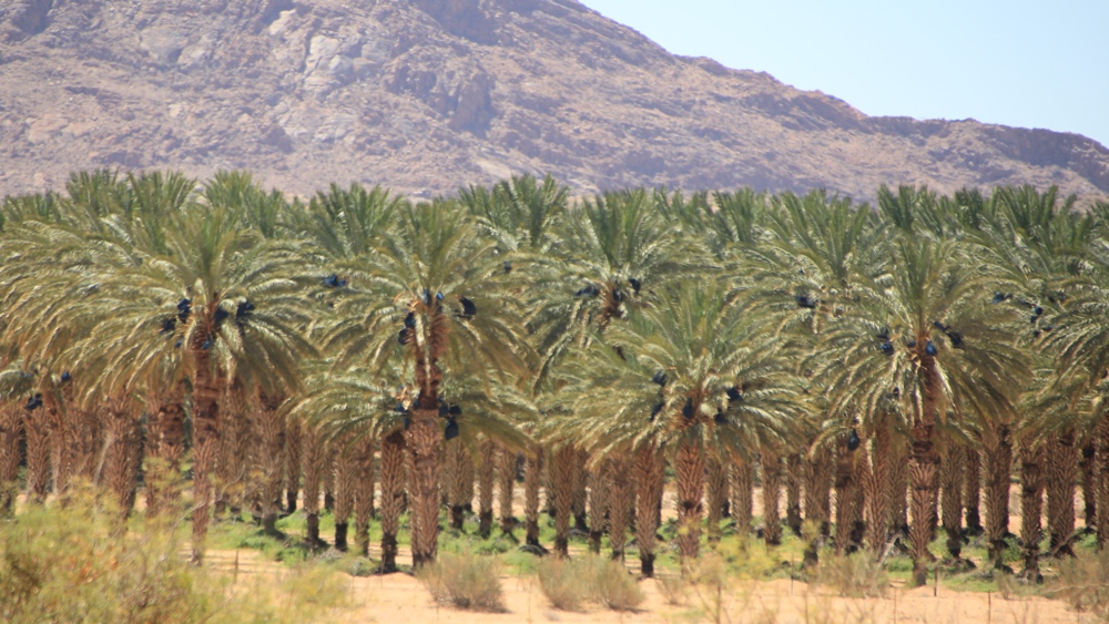
We saw lots of date plantations. Sadly their office was closed so no products were available.
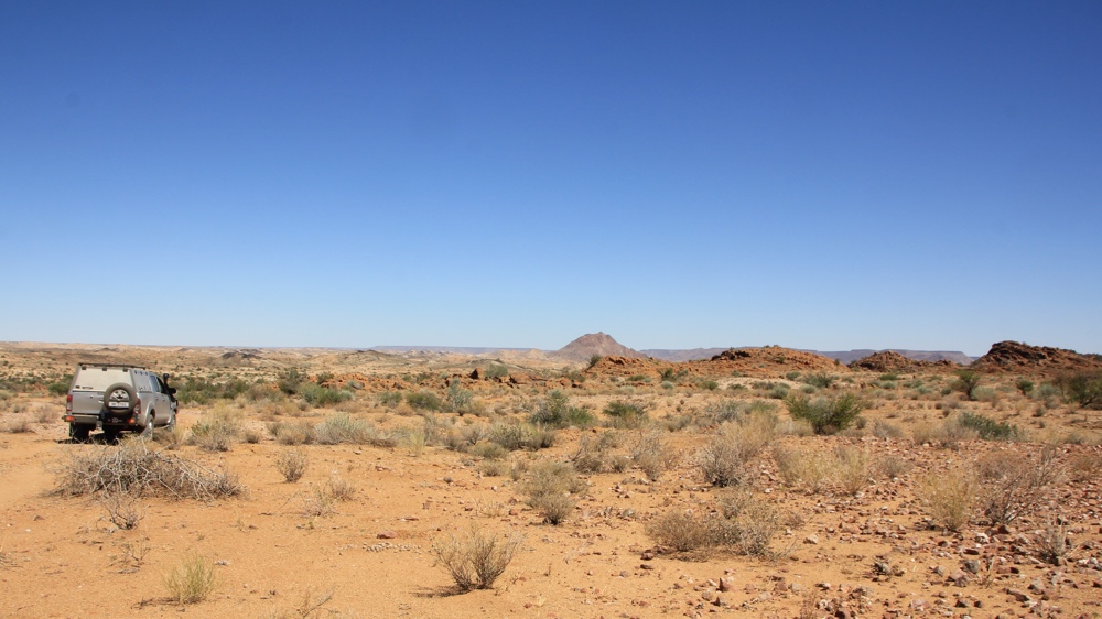
Reception was shut but we eventually found a lady round the back of the house. We asked about the RIver Camp and were told we could go there but she didn't have a detailed map or any co-ordinates. There was a sign to the river near the buildings which we followed but after a few kilometres we came to a junction with no signs. Our Tracks4Africa GPS showed the tracks. One just went to locked date plantation so we followed the other one and, after a while, saw another track with clear tyre marks which looked like it went down to the RIver so we turned off and followed it. A km or so later we came to a rock obstacle and some very soft sand. After deflating the tyres and building up one side of the obstacle, Kevin drove while I directed him over the rock only to find another km further on that the track stopped quite a way from the river!! Fortunately there was just enough room to do a 9 point turn and then we had to drive back over THE ROCK! i was so busy directing that I only manged a couple of photos. Eventually we drove back to the Lodge and stopped at their campsite for the night.
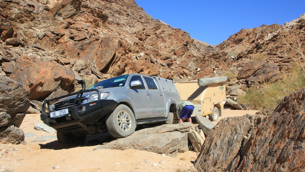
This was the rock obstacle we came across.
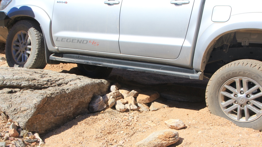
We added more rocks to the ramp.
Augrabies National Park
In the Park the Orange River passes through a narrow gorge and down a waterfall.
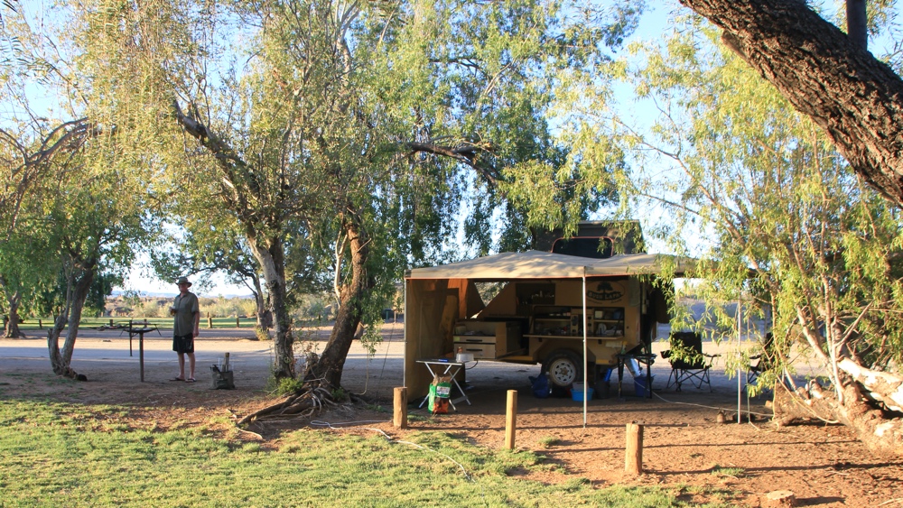
We found a lovely shady site.
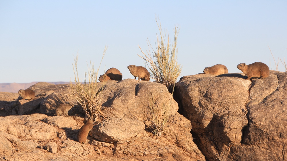
Early one morning we walked to the Falls. There were lots of dassies sunning themselves on the rocks.
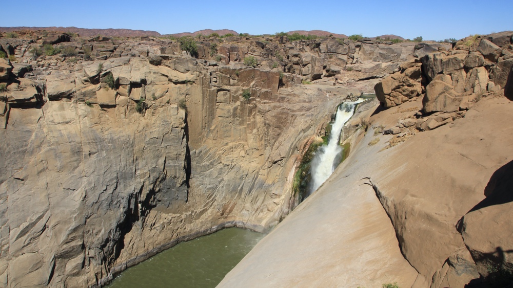
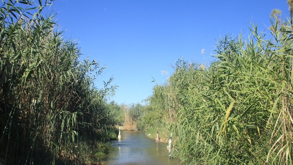
Very little water in the River.
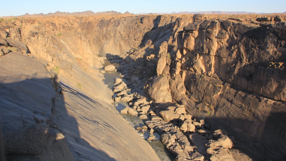
Looking downstream from the Falls.
We had a drive around the Park. It was extremely dry but we did see game - oryx, springbok, zebra, kudu red hartebeest and duiker.
Driving through the Park.
The white markers showed the way across this tributary of the Orange - the only water we saw on our drive.
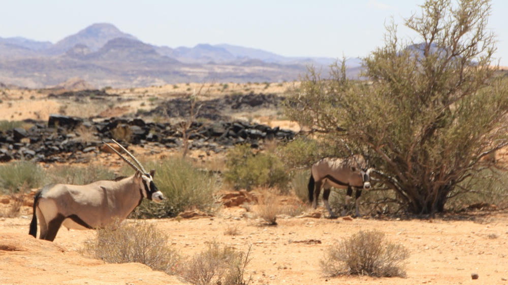
Oryx (Gemsbok).
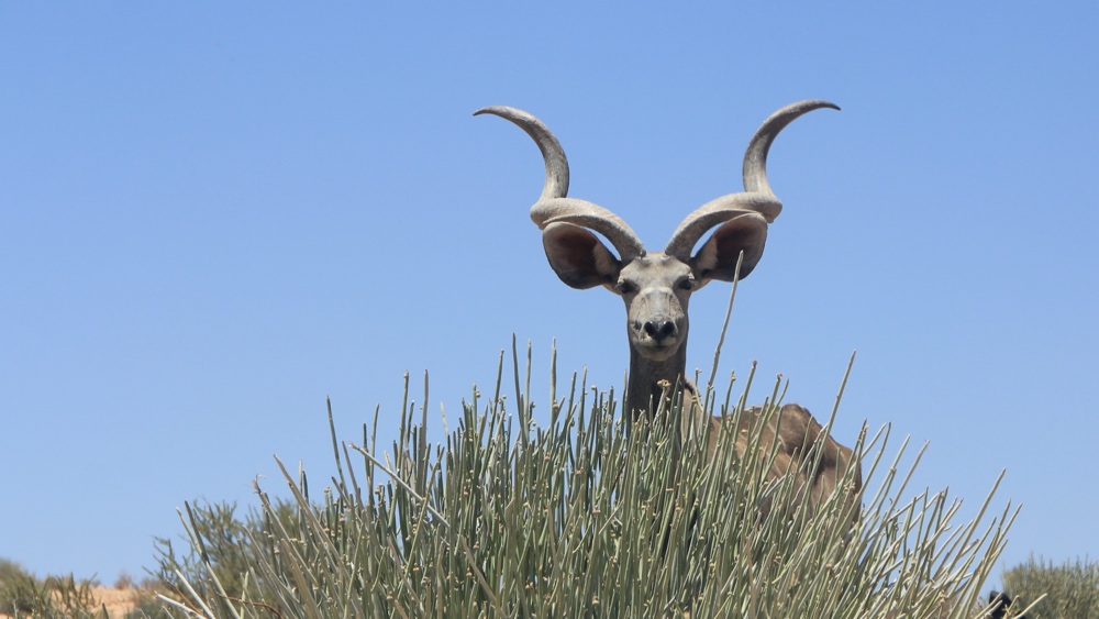
A kudu bull.
Augrabies to Gariep via Keimoes, Groblershoop, Prieska, Douglas and Hopetown.
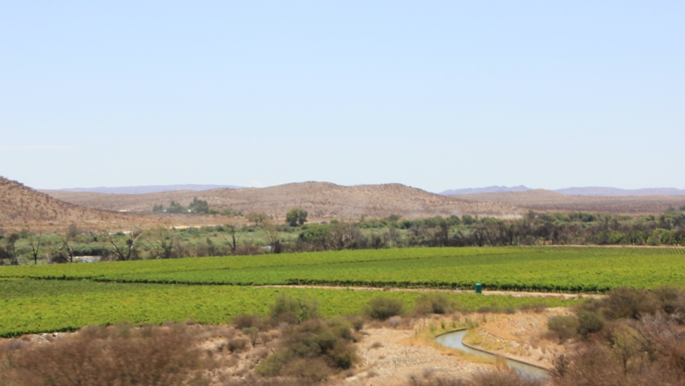
We mostly kept to gravel roads and took our time to drive towards the Drakensberg, stopping at 4 camps next to the RIver. As we headed East we saw more and more irrigated land near the river, however the rest of the land was dry, dry, dry!
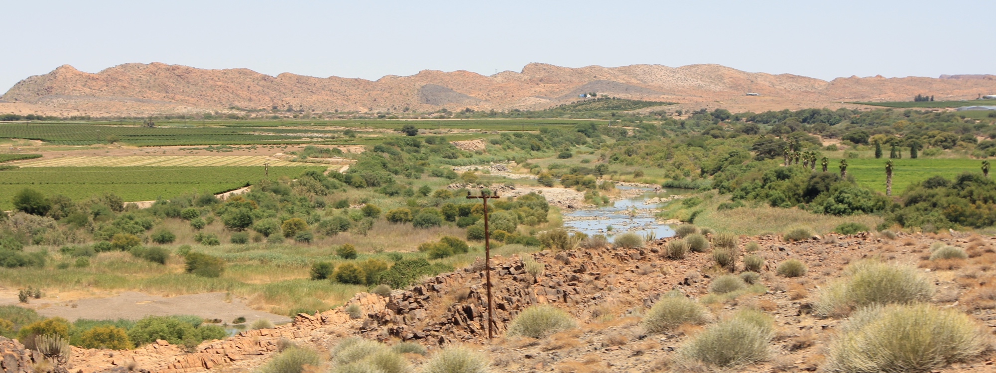
Sometimes the River was a thin ribbon of green amongst rocks but in other places the irrigated fields stretched for miles.
Oranjerus Resort is between Keimos and Uppington. There was plenty of shade and irrigated lawns.
Our campsite right by the river.
Sunset.
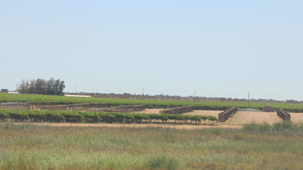
During our drive along the River we saw a wide variety of crops being grown, including grapes, fruit, grass, nuts and maize.
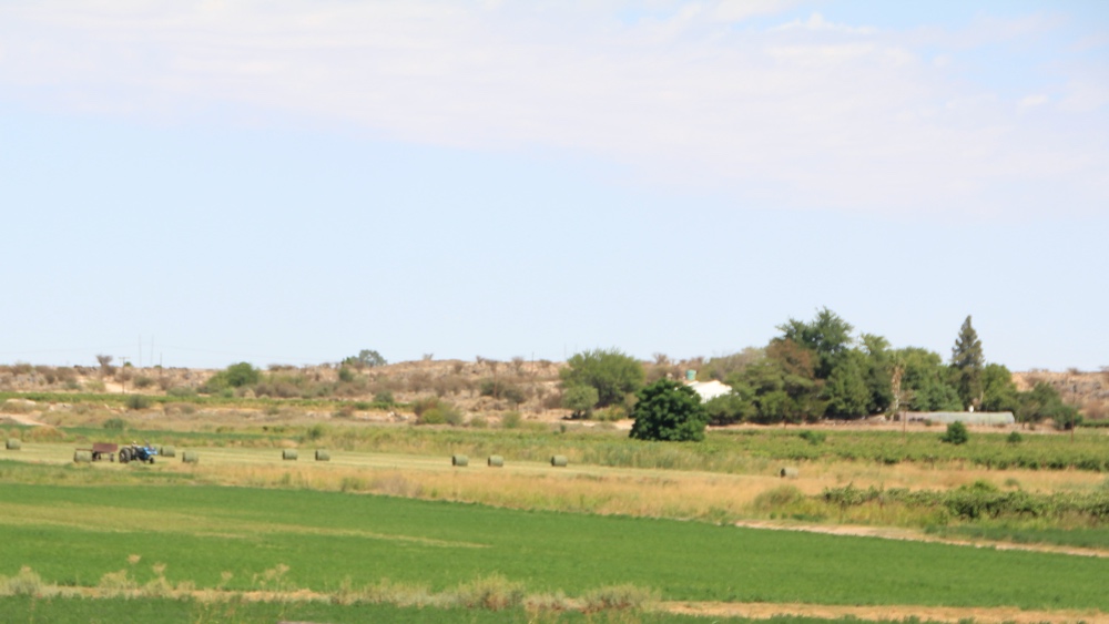
Grass fields being bales.
Fruit trees and drying racks.
Vinyards.
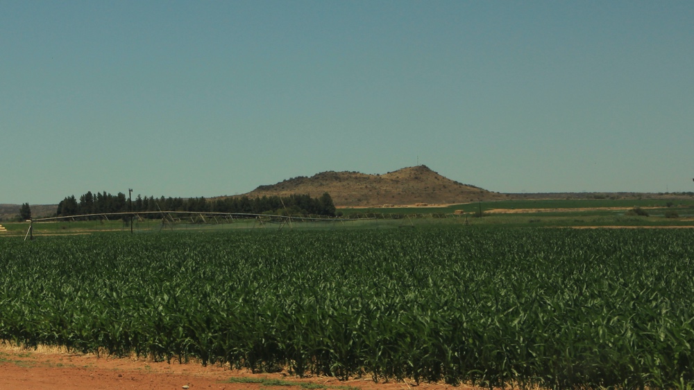
Maize.
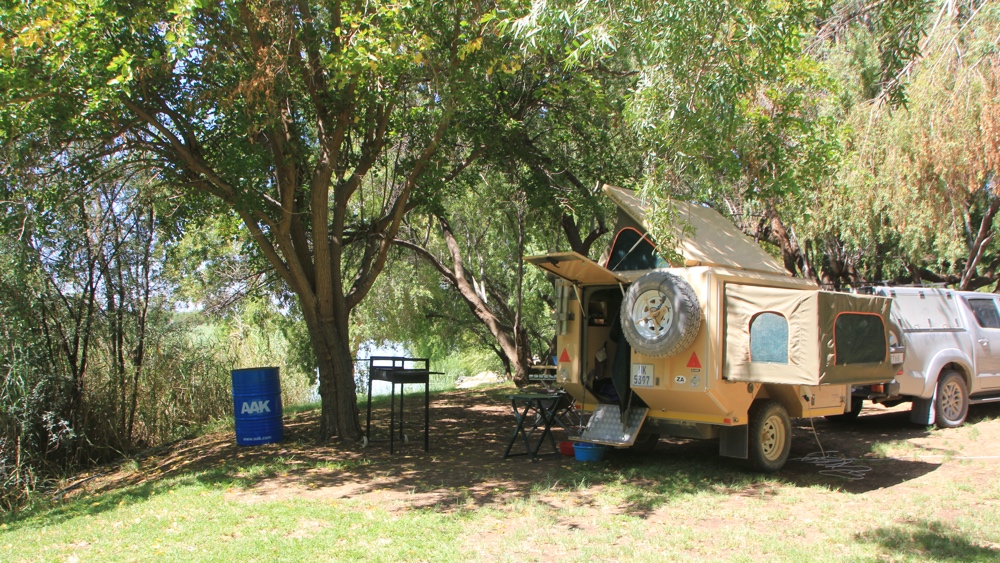
Kheis Riverside Lodge is NE of Groblershoop. As the only campers we had our choice of sites.
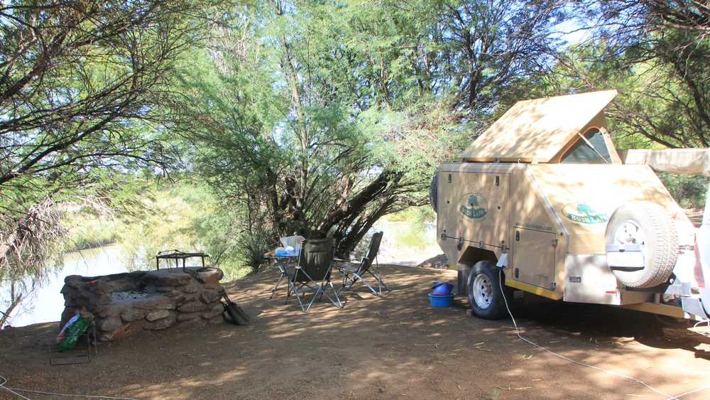
A site above the river with shade a a bit of a breeze.
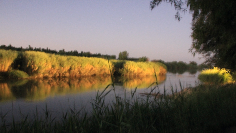
Sunset.
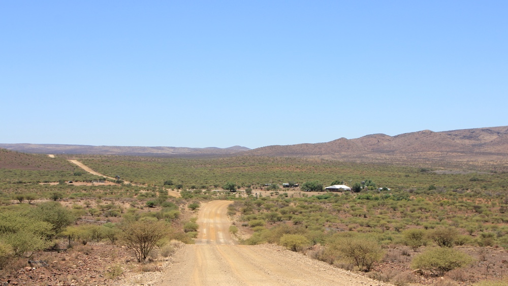
From Kheis we drove on gravel roads to the east of the river to Prieska. We saw very little traffic and, as we were quite a way from the river most of the time, were travelling through very dry, but interesting, countryside. Occasionally we came across farms or shacks.
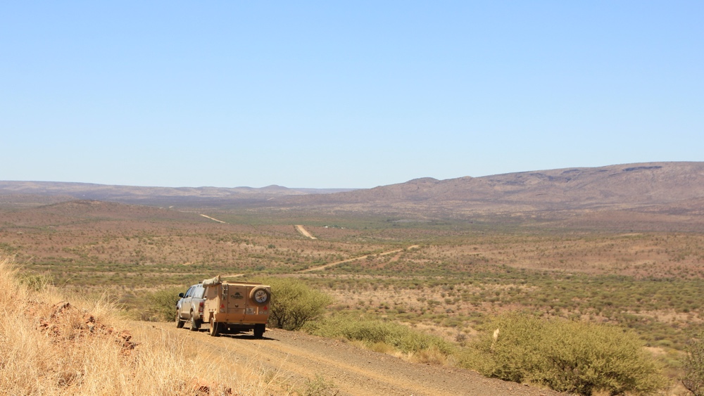
A few kilometres from the RIver the land is very different.
We passed a few farms.
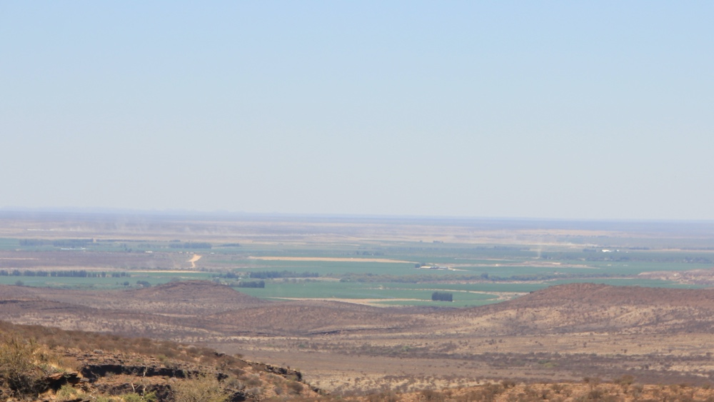
As we approached Prieska we could see the Orange RIver valley up ahead.
Crossing the River at Prieska.
Broadwater River Estate is to the East of Douglas and is on the banks of the Vaal River which joins the Orange River. We arrived on a Thursday and wanted to stay 2 nights - we were surprised to find that they only had 1 site available for the weekend.
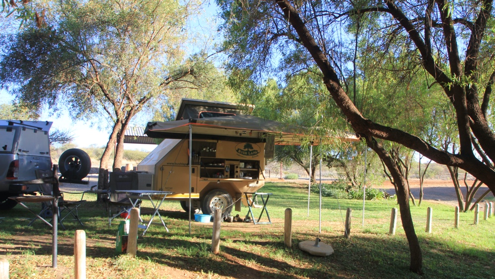
Our campsite.
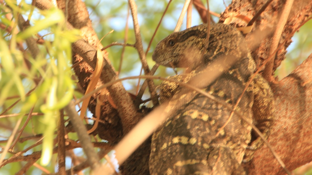
A monitor lizard at the campsite.
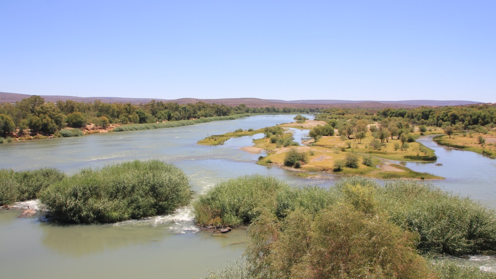
We drove out to the confluence of the Orange and Vaal Rivers . It looks like it was once a lovely picnic spot but now very run down.
The Orange River is on the left and the Vaal on the right. There was noticably more water in the River here than further downstream which shows how much water is used for irrigation.
From Broadwater our next stop was at Orania but we didn't enjoy our night there due to the racist comments made by our neighbours. The next day we headed towards the Gareip Dam but had a problem with the vehicle battery so decided to head back to Richmond earlier than intended.
Last updated: December 2020